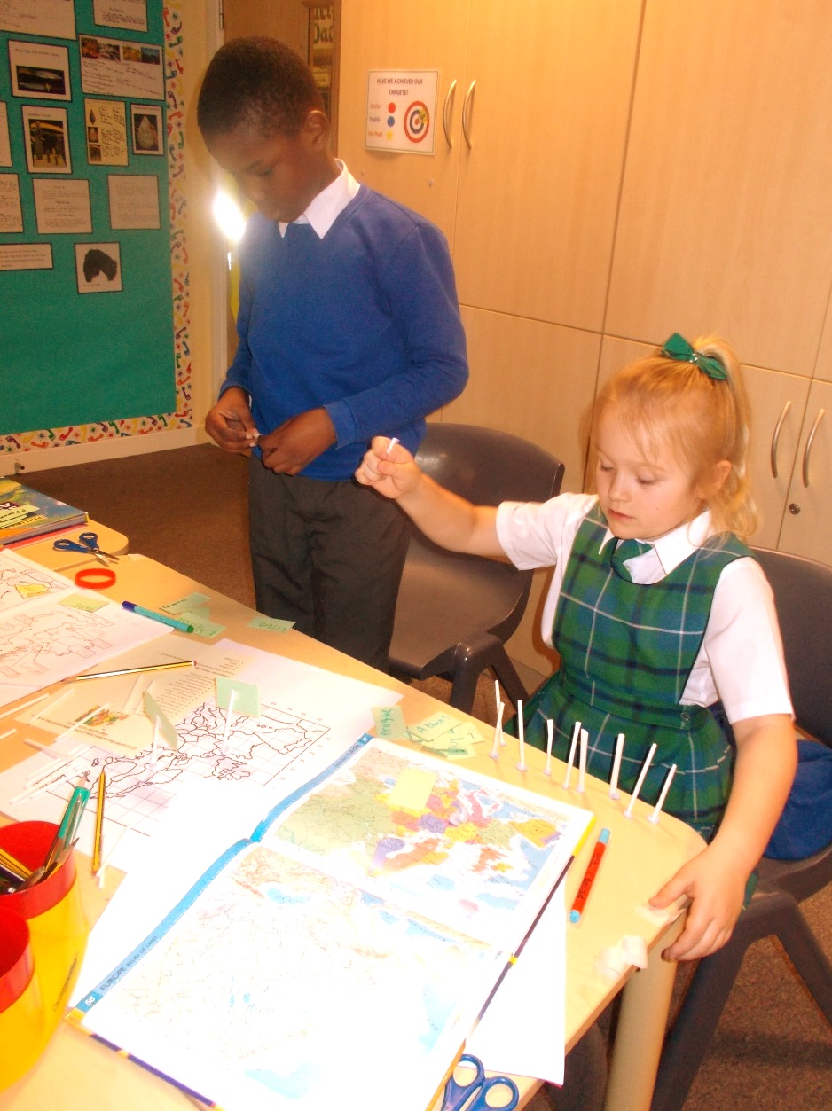
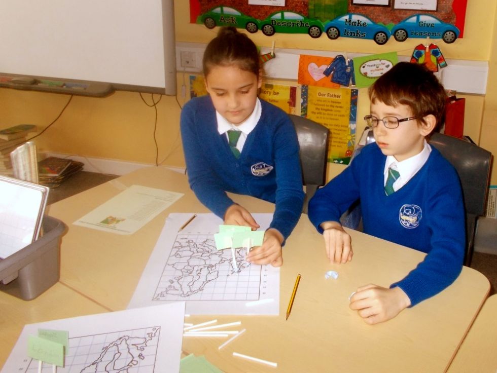
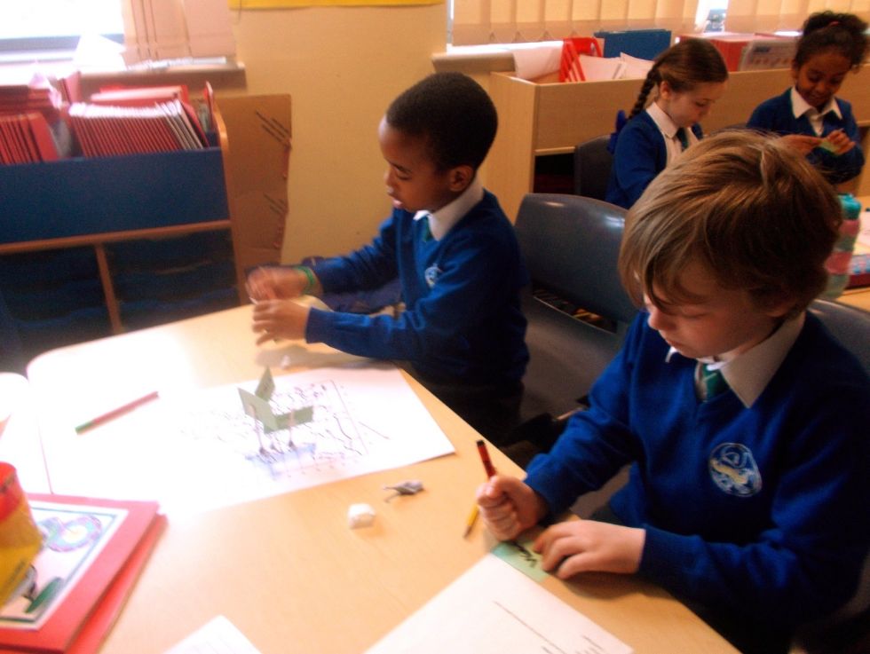
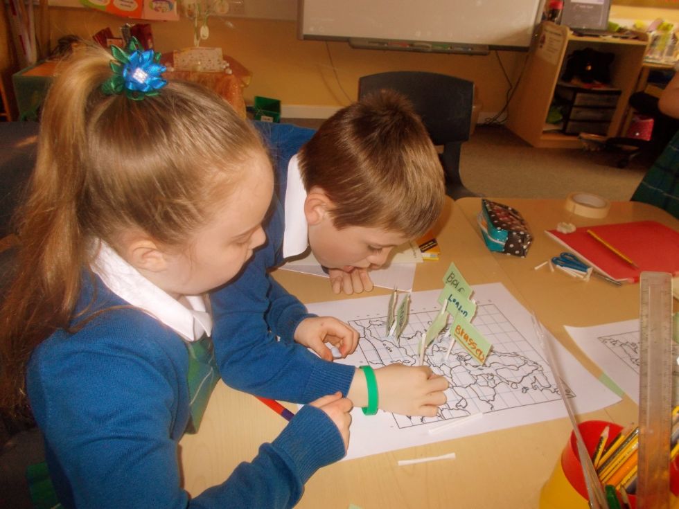
European Map Work
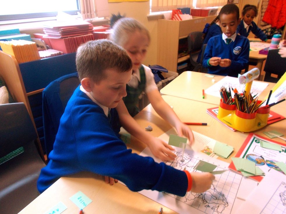
Within our geography topic ‘Europe’, we have been using an Atlas to help us to identify major countries on a European map. Recently, we plotted major capital cities using 4 figure map co-ordinates. We worked in pairs with large maps of Europe, making individual flags for each city.