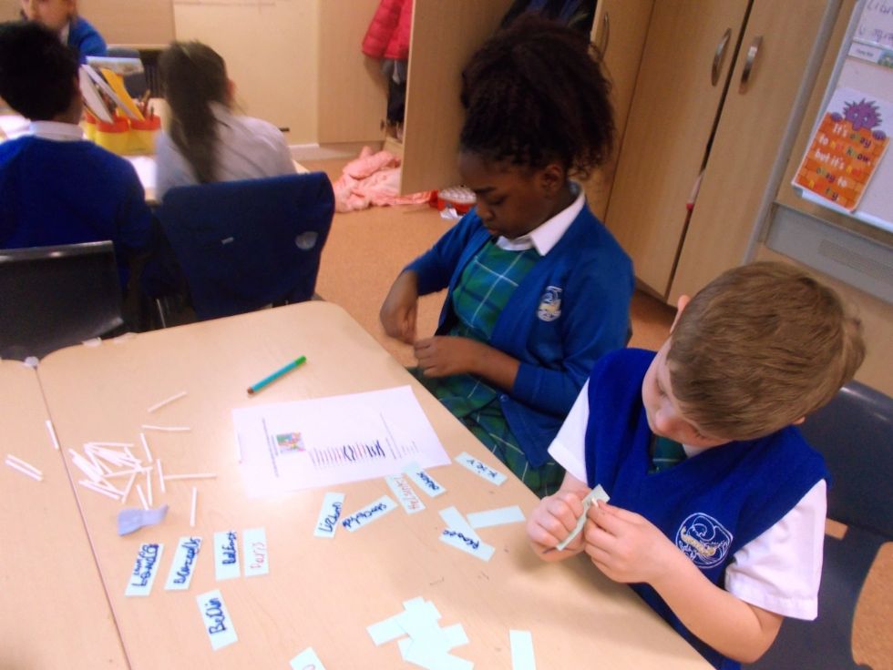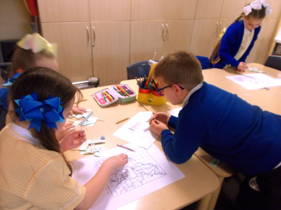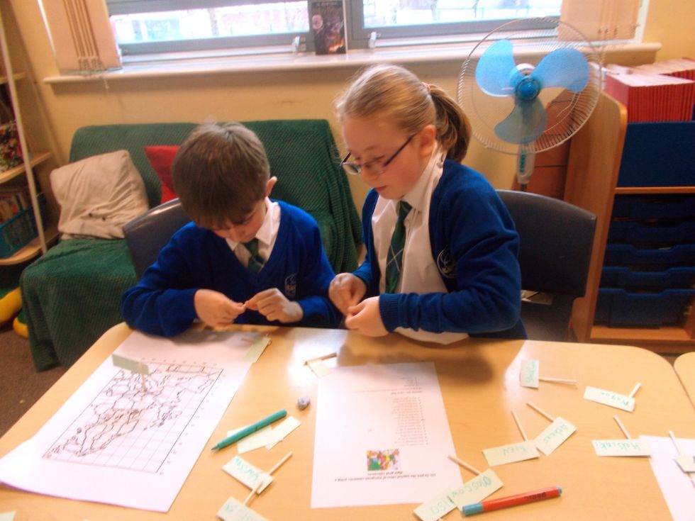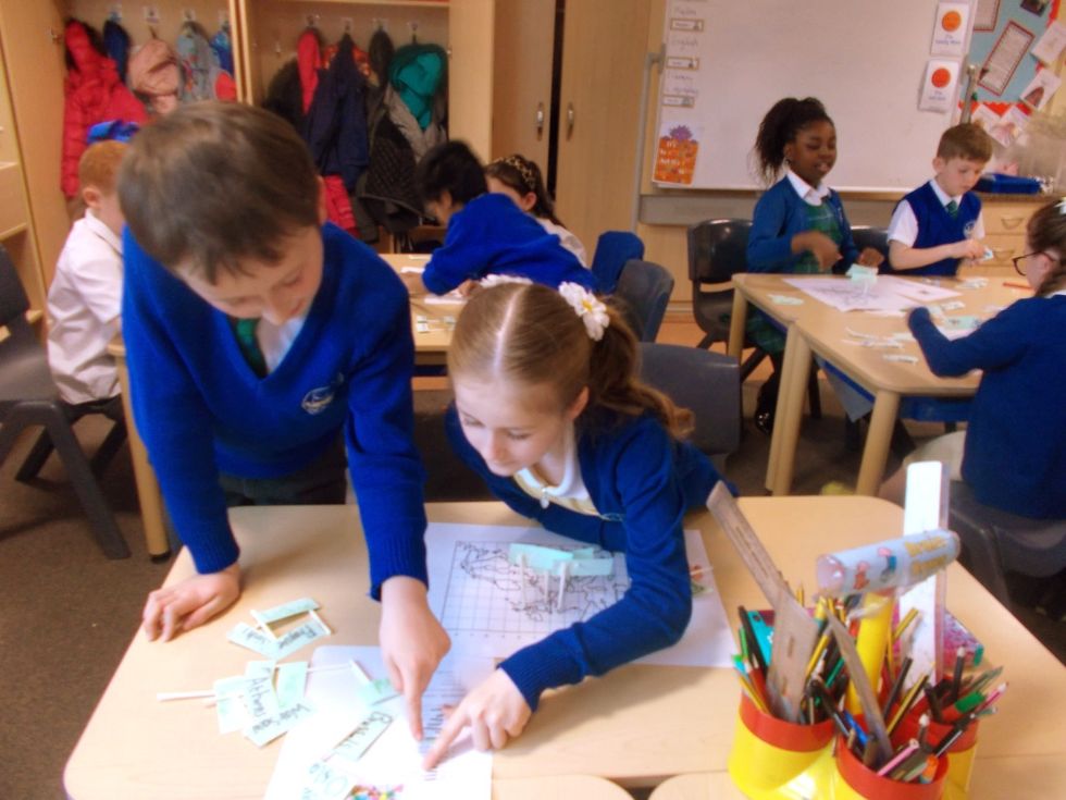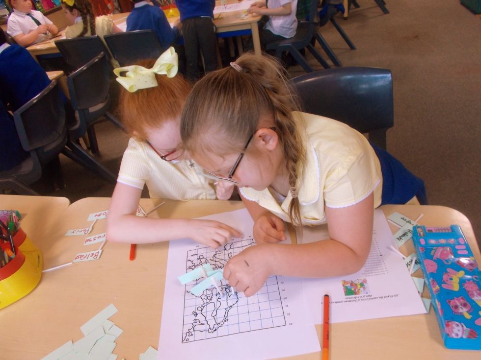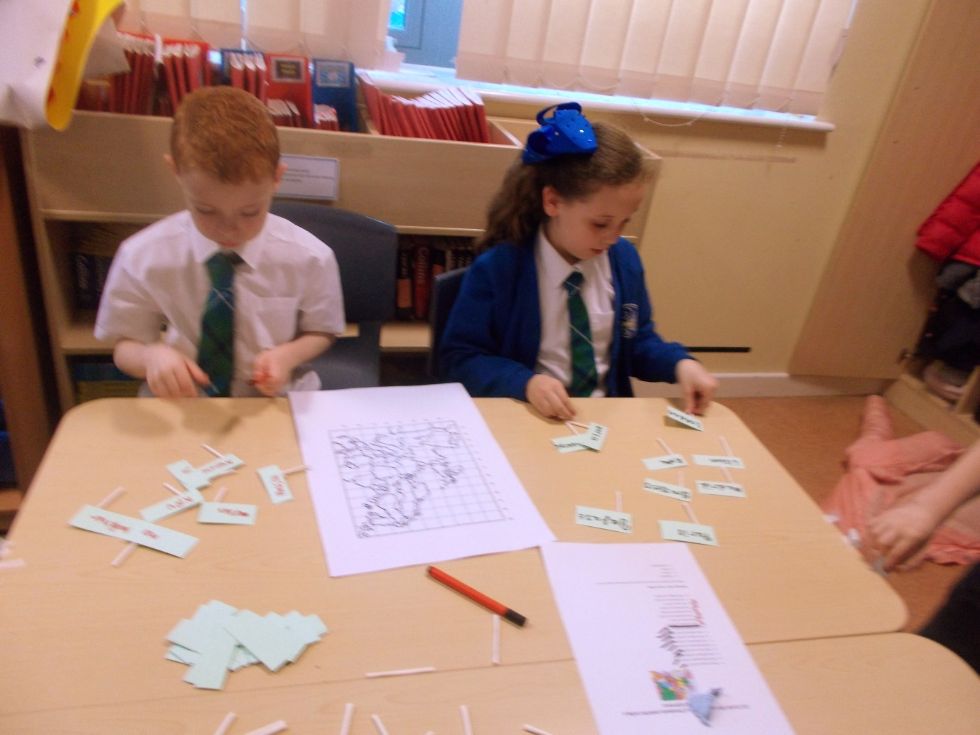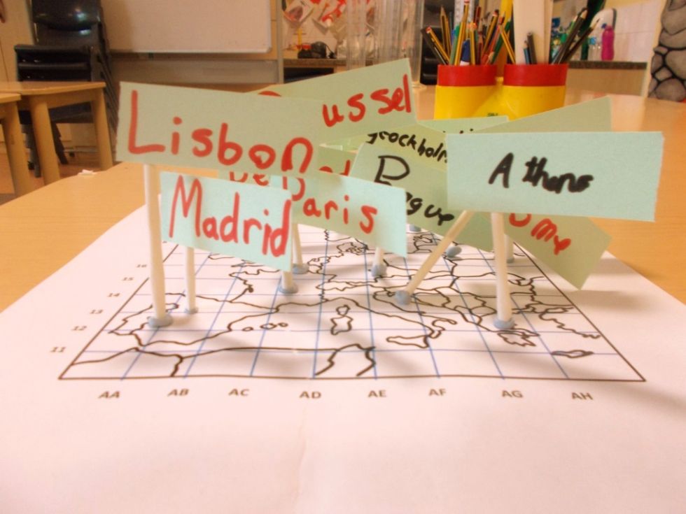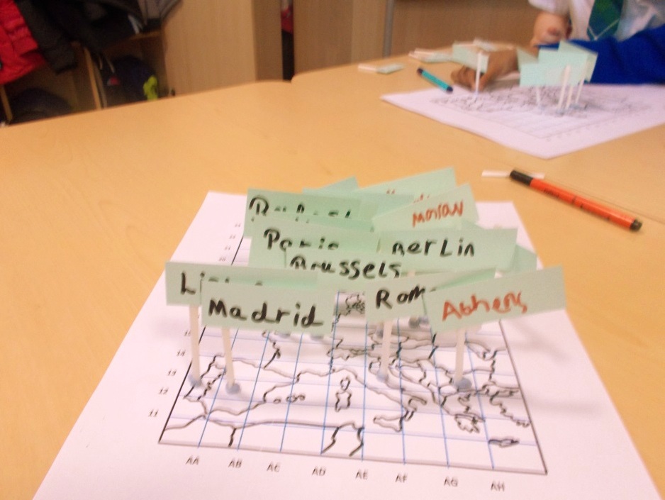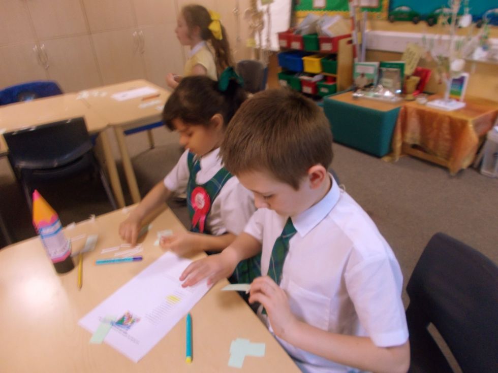
As part of our ‘Europe’ topic we have been using an Atlas to become familiar with the countries and capital cities. We then plotted major capital cities using 4 figure grid references. We worked in pairs with large maps of Europe, making individual flags to plot each city.